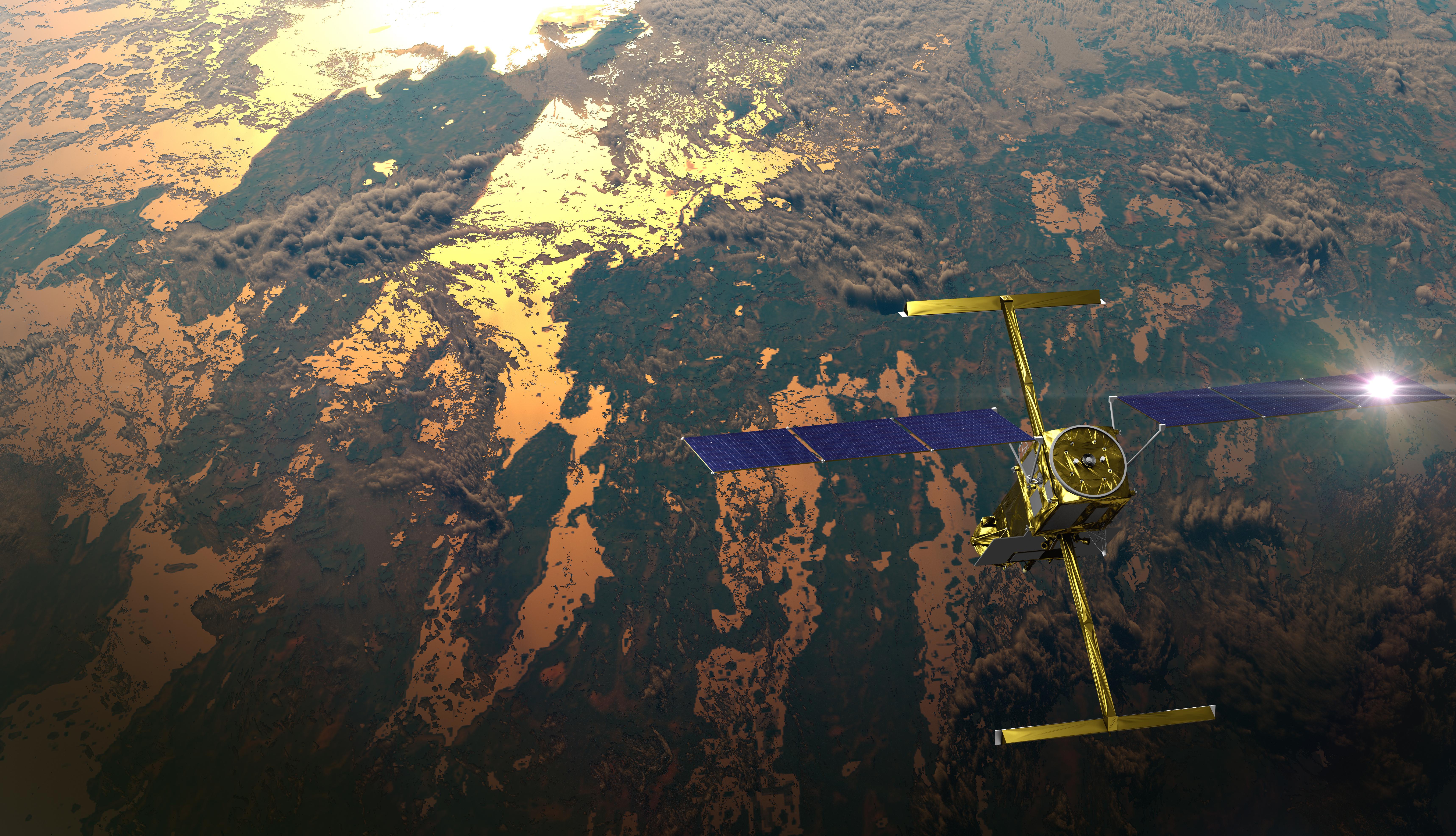
NASA-CNES Satellite Reveals River Water Volume Fluctuations
The Gist
The SWOT satellite tracks Earth's river volume changes, revealing less fluctuation than previous models estimated, influenced by Amazon drought.
Explain Like I'm Five
"A special satellite is measuring how much water is in rivers all over the world to help us understand how they change."
Deep Intelligence Analysis
Notably, the Amazon River experienced the most significant variation, gaining and losing over 45 trillion gallons (172 cubic kilometers), while the Nile River showed less variation than expected, potentially due to upstream damming and severe drought. SWOT's ability to simultaneously measure river width, surface height, and slope using its Ka-band Radar Interferometer (KaRIn) instrument marks a significant advancement over traditional methods that rely on models or combined altimeter and optical/radar estimates. This new data also provides valuable information about the underwater topography of river channels, which influences shipping and flooding.
The initial findings represent a first look, and further analysis is needed to fully understand the role of large floodplain dynamics. However, SWOT's capabilities are already helping scientists untangle complex questions about river flow and rainwater/snowmelt runoff. As the mission continues, it promises to provide crucial data for improving hydrological models, managing water resources, and understanding the impacts of climate change on Earth's river systems.
*Transparency Disclosure: The AI model used to generate this analysis is a large language model, trained on a broad range of publicly available text data. While efforts have been made to ensure accuracy and relevance, the analysis should be considered as informational and not as definitive expert advice. The model is continuously being improved, and future iterations may produce different results.*
_Context: This intelligence report was compiled by the DailyOrbitalWire Strategy Engine. Verified for Art. 50 Compliance._
Impact Assessment
SWOT provides a new way to monitor global water resources, crucial for understanding climate change impacts. The data helps refine hydrological models and improve water management strategies.
Read Full Story on JPL NewsKey Details
- ● SWOT satellite is a collaboration between NASA and CNES.
- ● SWOT tracks river width, surface height, and slope.
- ● River volumes varied by almost 83 trillion gallons between October 2023 and September 2024.
- ● The Amazon River varied the most, gaining and losing over 45 trillion gallons.
Optimistic Outlook
SWOT's ability to map river channels will improve shipping and flood prediction. Future data will refine our understanding of river dynamics and water availability.
Pessimistic Outlook
Drought conditions in the Amazon skewed the initial findings. Challenges remain in interpreting data from new satellite instruments.
The Signal, Not
the Noise|
Get the week's top 1% of space-tech intelligence synthesized into a 5-minute read. Join 25,000+ aerospace insiders.
Unsubscribe anytime. No spam, ever.