SWOT Satellite Improves Seafloor Mapping Accuracy
The Gist
NASA's SWOT satellite data enhances seafloor mapping, crucial for navigation, resource exploration, and understanding ocean dynamics.
Explain Like I'm Five
"Imagine trying to find your toys at the bottom of a swimming pool, but the water is murky. A special satellite helps us 'see' the bumps and mountains on the pool floor, even if we can't touch them, so boats can drive safely and we can learn about the creatures that live there!"
Deep Intelligence Analysis
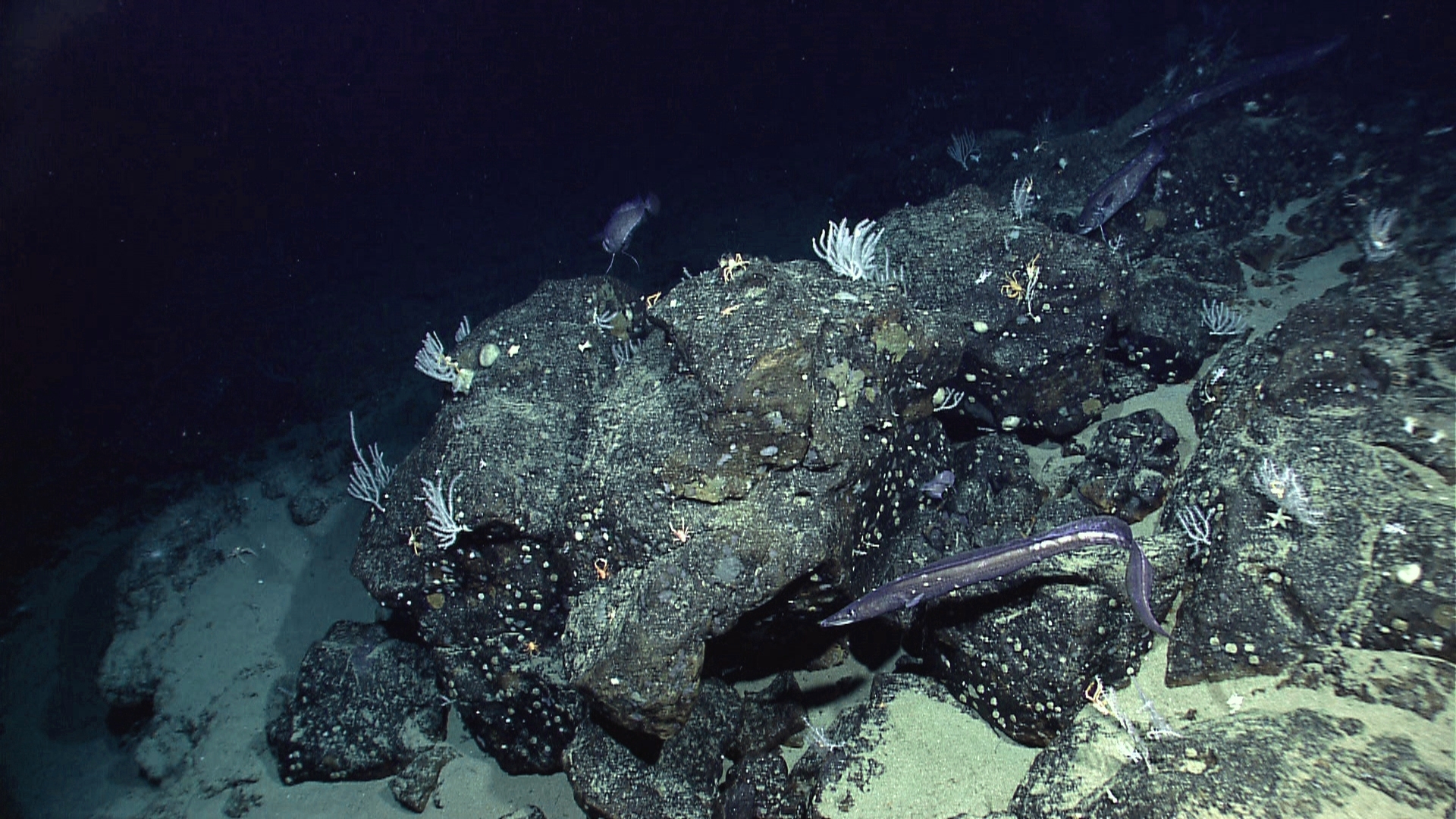
The implications of improved seafloor maps are far-reaching. More accurate maps are crucial for safe navigation, particularly for large cargo ships and submarines. They are also essential for laying underwater communication cables, a critical component of global internet infrastructure. Furthermore, detailed seafloor maps are becoming increasingly important for emerging economic opportunities such as rare-mineral seabed mining. Understanding the topography of the ocean floor is also vital for understanding deep-sea currents and tides, which play a significant role in regulating global climate and supporting marine ecosystems. The location and characteristics of seamounts and abyssal hills influence the movement of heat and nutrients in the deep sea, affecting the distribution of marine life and impacting ecosystems that human communities depend on.
However, it is important to acknowledge the limitations of satellite-based seafloor mapping. While SWOT provides a global perspective and can detect subtle variations in sea surface height, it may not achieve the same level of detail as direct sonar measurements. The accuracy of SWOT-derived seafloor maps depends on the precision of the satellite's instruments and the sophistication of the data processing algorithms. Further research and validation are needed to fully assess the capabilities and limitations of this technology. Despite these limitations, SWOT represents a major step forward in our ability to explore and understand the Earth's oceans.
_Context: This intelligence report was compiled by the DailyOrbitalWire Strategy Engine. Verified for Art. 50 Compliance._
Impact Assessment
Improved seafloor maps are essential for safe navigation, laying underwater cables, and emerging economic activities like seabed mining. They also enhance understanding of deep-sea currents, tides, and geological processes, impacting ecosystems and human communities.
Read Full Story on Hacker News SpaceKey Details
- ● SWOT maps 90% of the globe every 21 days.
- ● SWOT measures water height with centimeter-level accuracy.
- ● Only about 25% of the ocean floor has been directly surveyed with sonar.
Optimistic Outlook
SWOT's high-resolution data promises more detailed seafloor maps, unlocking potential for resource exploration and safer maritime operations. This could lead to advancements in understanding ocean dynamics and improved climate models.
Pessimistic Outlook
Reliance on satellite data may still lack the precision of direct sonar measurements, potentially limiting the accuracy of seafloor maps. The full potential of SWOT data may be hindered by data processing limitations or unforeseen technical challenges.
The Signal, Not
the Noise|
Get the week's top 1% of space-tech intelligence synthesized into a 5-minute read. Join 25,000+ aerospace insiders.
Unsubscribe anytime. No spam, ever.