Drone-Based Radar Scans Pave Way for Martian Glacier Mapping
The Gist
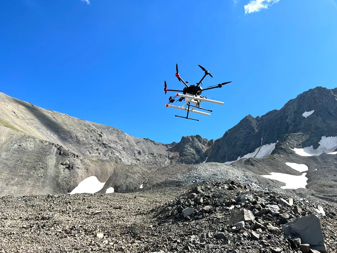
Drones equipped with ground-penetrating radar are being tested on Earth glaciers to refine methods for mapping subsurface ice deposits on Mars.
Explain Like I'm Five
"Imagine using a special drone with radar to find hidden ice on Mars, like finding buried treasure! Scientists are practicing on Earth first."
Deep Intelligence Analysis
_Context: This intelligence report was compiled by the DailyOrbitalWire Strategy Engine. Verified for Art. 50 Compliance._
Impact Assessment
Accurate mapping of Martian glaciers is crucial for identifying potential water resources for future astrobiological studies and in-situ resource utilization (ISRU). Drone-based GPR offers a higher-resolution alternative to orbital sounders like SHARAD.
Read Full Story on Universe TodayKey Details
- ● Researchers used a DJI Matrice 600 Pro drone with a MALA Geodrone 80 MHz GPR module.
- ● Tests were conducted on Sourdough Rock Glacier in Alaska and Galena Creek Rock Glacier in Wyoming.
- ● The drone used an automated terrain-following module for navigation.
Optimistic Outlook
Successful drone-based GPR validation on Earth suggests a viable path for deploying similar systems on Mars. This could lead to more precise resource mapping, accelerating ISRU development and enabling longer-duration Martian missions.
Pessimistic Outlook
Challenges remain in adapting drone technology to the harsh Martian environment, including its thin atmosphere and extreme temperatures. Data validation and clutter mitigation will be critical for reliable subsurface mapping.
The Signal, Not
the Noise|
Get the week's top 1% of space-tech intelligence synthesized into a 5-minute read. Join 25,000+ aerospace insiders.
Unsubscribe anytime. No spam, ever.