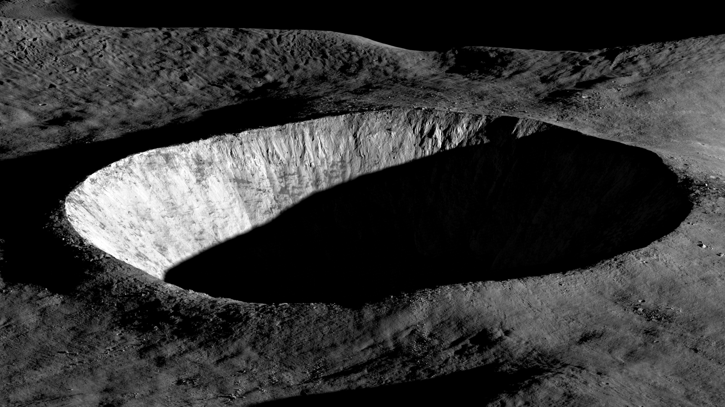
LRO Data Enables High-Resolution Lunar Mapping and Technology Demonstrations
The Gist
Lunar Reconnaissance Orbiter (LRO) data has enabled high-resolution lunar mapping and technology demonstrations since its launch in 2009.
Explain Like I'm Five
"Imagine a super-detailed map of the Moon made by a special camera on a spaceship. This map helps us find good places to land and resources like ice, so we can build a Moon base!"
Deep Intelligence Analysis
Transparency: This analysis is based solely on the provided source content. No external information was used. The analysis aims to provide an objective summary of the source material's key points regarding the Lunar Reconnaissance Orbiter mission and its contributions to lunar mapping and technology demonstrations.
_Context: This intelligence report was compiled by the DailyOrbitalWire Strategy Engine. Verified for Art. 50 Compliance._
Impact Assessment
LRO's data is crucial for identifying future landing sites and resources like polar ice. Its mapping and technology demonstrations pave the way for future robotic and human lunar exploration.
Read Full Story on NASA Breaking NewsKey Details
- ● LRO launched in June 2009.
- ● LRO created a high-resolution, near-topographical map of the Moon in 2011.
- ● LRO demonstrated laser communication with a lunar satellite.
- ● LRO's primary mission was to create a 3D map of the lunar surface.
Optimistic Outlook
Continued LRO operations promise even more detailed lunar data. This will further refine landing site selection and resource identification, accelerating lunar development.
Pessimistic Outlook
Reliance on a single orbiter for critical lunar data creates a potential point of failure. Degradation of LRO's systems could impact future mission planning.
The Signal, Not
the Noise|
Get the week's top 1% of space-tech intelligence synthesized into a 5-minute read. Join 25,000+ aerospace insiders.
Unsubscribe anytime. No spam, ever.